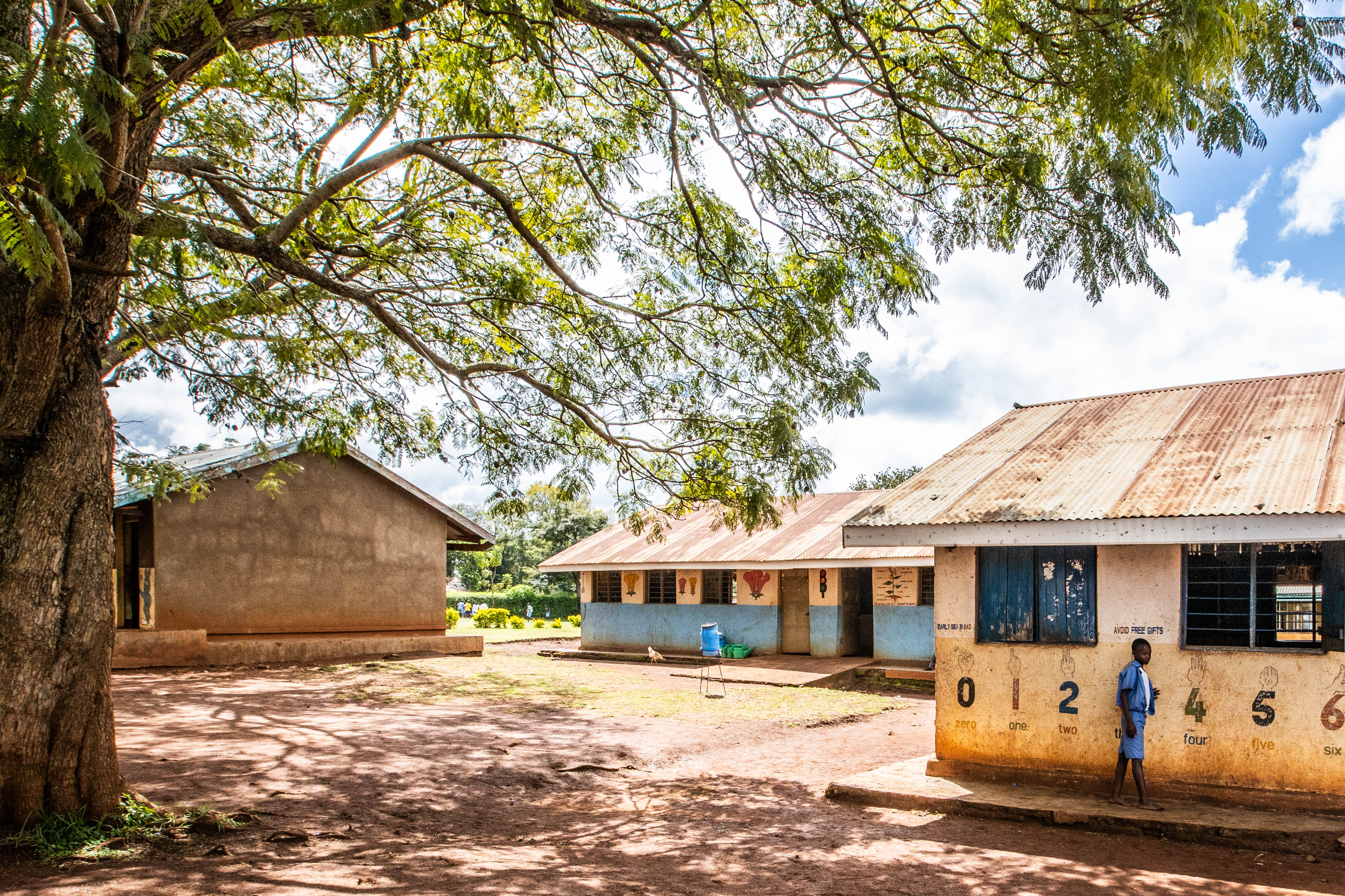


Beneath the Surface: “A Journey from Water Scarcity to Water Security”
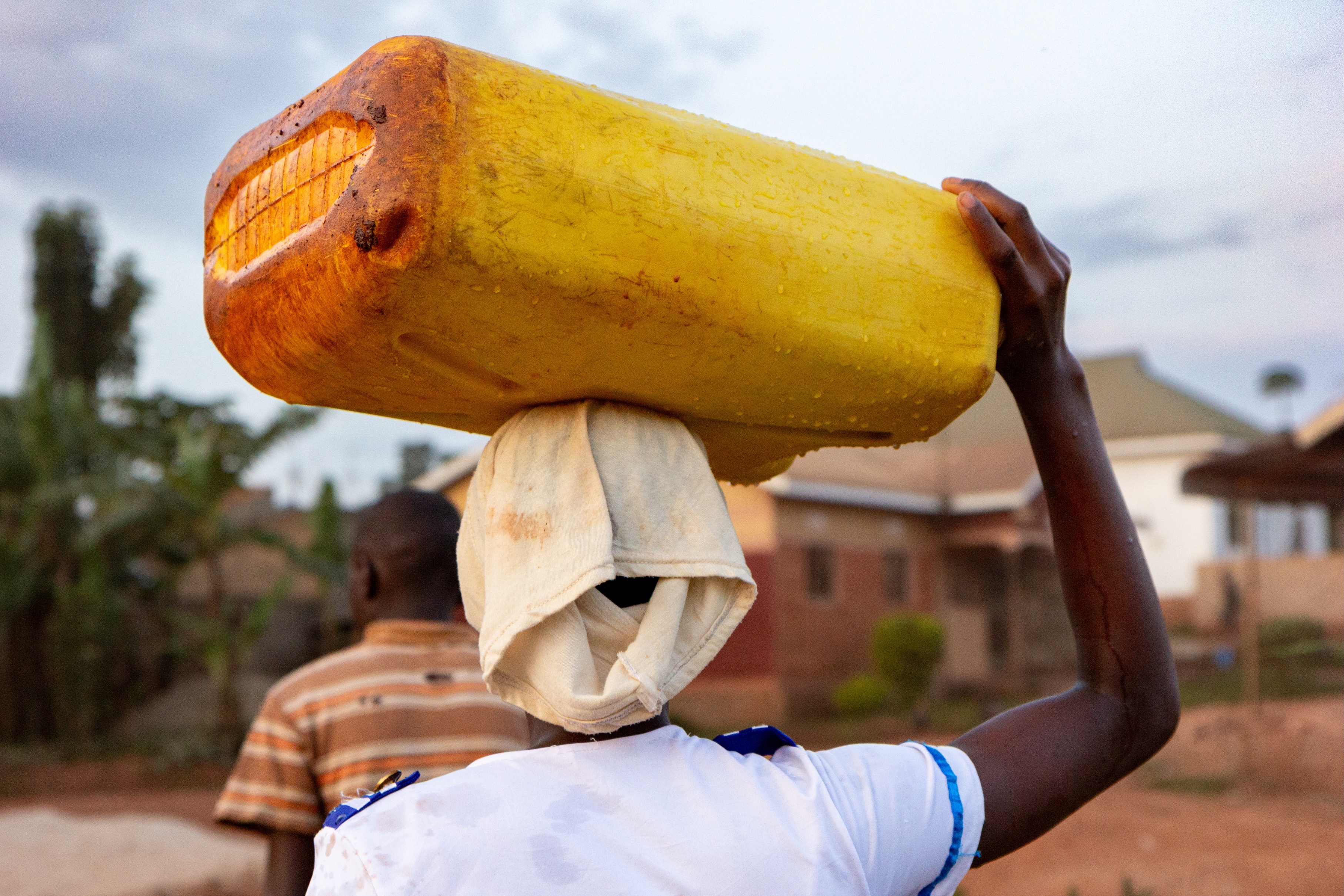
I carried that conviction into my undergraduate studies, where I earned a Bachelor’s degree in Water Resources Engineering. My coursework gave me a strong technical grounding in hydrology, hydrogeology, hydraulic systems, and water infrastructure design. But it also sharpened something I could not shake of a growing frustration with how often boreholes are drilled in communities that desperately need them, only to fail. The answer I came to learn is rarely a lack of effort but a lack of information. Across much of rural East Africa, drilling decisions are still guided by outdated paper maps and incomplete geological records, rather than by rigorous data driven prediction of where groundwater actually exists in usable quantities. The result is an expensive tragedy repeated across the region, dry holes, wasted budgets and communities waiting longer for the water they were promised.
My purpose crystallized around that gap. I do not want to just understand water systems, I want to help fix the process by which we find water in the first place, so that every borehole drilled in a place like Tororo has the best possible chance of succeeding. That means marrying my engineering background with the deeper geological and hydrogeological expertise needed to interpret subsurface data, integrate it with modern remote sensing tools, and turn it into decisions that actually work on ground and with a great opportunity of doing a funded masters’ degree in Geology at Makerere university brings this into a reality.
In Uganda, Fractile Institute is tackling one of rural East Africa’s most persistent and costly problems of failed boreholes which in some districts run as far as 55 %. Rather than accepting outdated paper maps as the standard, Fractile’s project integrates satellite Earth observation data with Uganda’s national database of borehole records to predict, with far greater precision, where groundwater drilling is likely to succeed. I am proud to be part of the team working on the ground in Uganda’s west Nile sub-region, actively collecting and reconciling hydrogeological data to help build a Decision support system designed to scale across Ugandan districts. It is therefore in the truest sense, the convergence of everything my journey has been building toward, lived experience of water scarcity, formal training in water resources engineering, and now the geological expertise to interpret subsurface data and translate satellite and hydrogeological evidence into tools that district water officers and drilling teams can actually use.
Fractile Institute is not just funding a degree, it is giving me the platform to turn a childhood conviction into a scalable solution. Sponsoring my masters’ research means I can spend these two years fully immersed in the geology of groundwater systems, contributing directly to a Decision support system that could reshape how drilling decisions are made across Uganda and eventually across the region.
My career goal is to become a leading voice in data driven groundwater management in East Africa, someone who bridges the gap between satellite science, geological fieldwork, and the everyday realities of communities like the one I grew up in. I want the next generation of borehole projects in Tororo, in West Nile and beyond, to be guided not by guesswork but by evidence.
Fractile institute has given me the resources, the mentorship, and the real-world platform to pursue that goal now, not someday. What began as a childhood observation of failed rains and dry taps is becoming a career built on ensuring that when a community is promised water, that promise can finally be kept.
Author: Maurine Awori is the Research Director of Fractile Institute Uganda.